
Control Point Establishment

Falcon Survey
Control Point Establishment
A Foundation You Can Trust With Us

Control Point Establishment

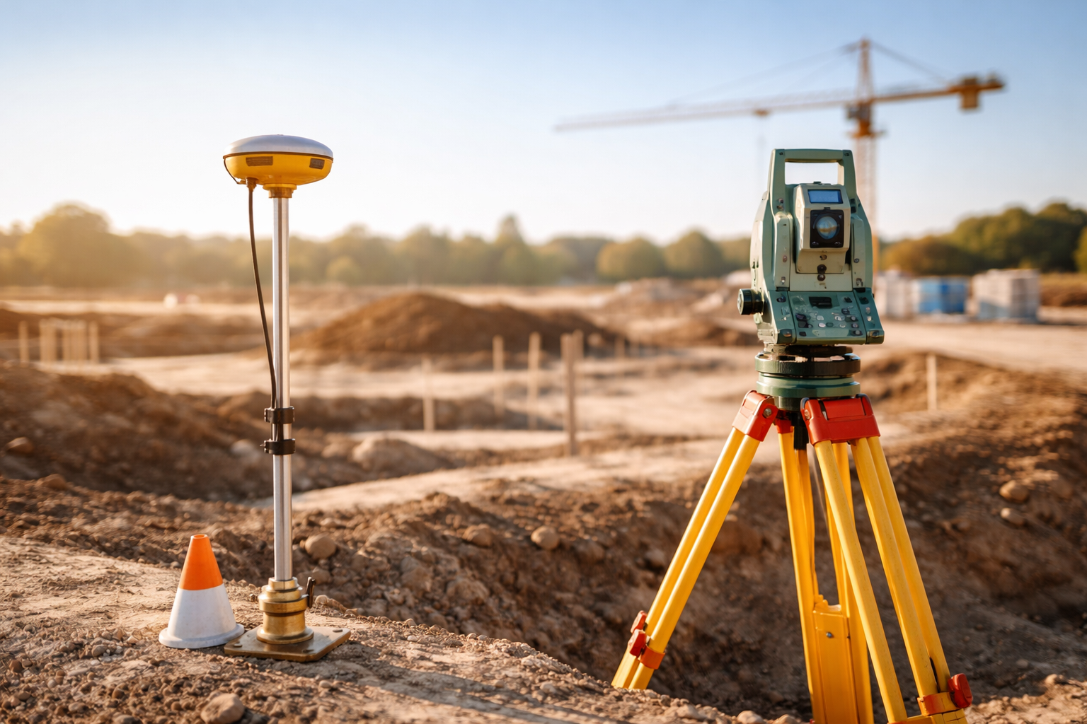
Establish precise control points for accurate surveying, mapping, and construction—ensuring reliable reference locations for all project phases.

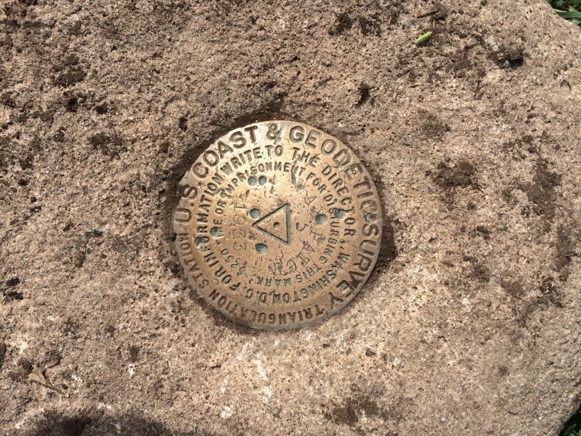
“Control Point Establishment” generally refers to the process of setting up fixed reference points used in surveying, construction, mapping, or geospatial data collection to ensure accuracy and consistency. These control points serve as known positions in space (usually with known coordinates and elevation) and are used to guide the positioning of other measurements or structures.

They serve as fixed locations with known coordinates and elevations, providing a consistent framework for accurate measurements and project alignment. Why Are Control Points Important? Ensure accuracy and consistency across surveys and construction. Provide a baseline for all future measurements. Facilitate integration of multiple datasets and project phases. Help maintain legal and regulatory compliance in land and construction projects.

Why Are Control Points Important?

Falcon Survey

Types of Control Points

Permanent Control Points:

Long-term, highly stable markers intended to last for decades. Used in national geodetic networks and major infrastructure projects.

Local Control Points:

Set up for specific projects or site areas, often temporary or semi-permanent, used for construction layout, topographic surveys, and GIS mapping.
01

As-Built Survey

An as-built survey or a physical survey is done to show the property ‘as it is built’ at any particular point in time.

Registered Point Cloud

If you wish to complete your own post production, Falcon Surveys scan and supply a Registered Point Cloud.

3D CAD Models

Our wide range of 3D CAD models come in many formats and levels of detail to best suit your business needs.

2D CAD Documentation

Generate highly accurate floor plans, sections & elevations in a variety of formats and levels of detail to suit your requirements with 2D CAD Documentation.

BIM Models

At Falcon Survey, we convert point cloud into a BIM ready format, REVIT, ARCHCAD and AECOSIM models.

3D Virtual Reality

Using 3D Virtual Reality, we can digitize specified objects, buildings or spaces in order to create a game-like environment that has interactive 3d walkthroughs.

Leica TruView

Take measurements, mark up and share views with Leica TruView. By combining panoramic images with point cloud data, it provides an effective visual decision-making tool.

Subscribe to the updates!

     
    FALCON SURVEY ENGINEERING CONSULTANTS is a pioneering Survey Engineering Company in U.A.E. established in the year of 2007, Falcon Survey Engineering built on a strong work ethic, honesty and a commitment to relationships.

    Contact Info

    Social Links