
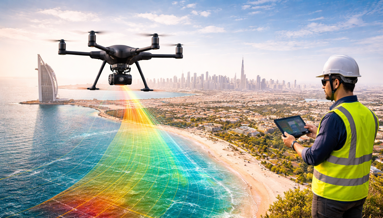
Drone mapping, or drone land surveying, refers to the use of UAVs (unmanned aerial vehicles) equipped with a downward facing camera to capture aerial imagery. Photogrammetry software then turns these images into maps, orthomosaics, 3D models, contour lines, point clouds and other virtual representations of the physical world. Drones have become excellent at providing fast, easily repeatable and cost-effective survey maps and insightful data across a variety of industries.
Any Questions? Let’s talk
+971 4 3271414
Related Services
Aerial / Drone Mapping
FALCON SURVEY
Aerial / Drone Mapping Solutions
We are one of the earliest adopters of 3D Laser Scanning technology in U.A.E. and our continued investment in Leica Laser Scanners has ensured our survey teams can deliver comprehensive data with speed and accuracy whilst working safely throughout the U.A.E and abroad.
Drone Mapping Services and 3D Modelling are becoming far more cost effective due to the latest drone camera technology. Our fully licensed and insured drone filming team are able to provide 2D and 3D mapping services to a diverse range of clients in a manner that was previously uneconomical. Today, clients use our Drone Mapping Services to create 3D visualizations, take measurements and perform calculations on volumes of large areas. We provide 2D and 3D mapping which can be integrated into a wide variety for formats including point cloud for use on client’s own software and CAD systems.
- Corridor mapping
- Topographical Survey of Large areas
- Mining (volume calculation)
- Construction site monitoring
- Environmental changes (time series)
- Contour mapping
- Leveling/Excavation
- Archaeology and cultural heritage
- Highway construction
- Digital Terrain Model (DTM)
With its range of best-in-class cameras, Falcon Survey can produce high-resolution, highly-precise drone map outputs.
GET OUTSTANDING DRONE MAPS
Map outputs
With its range of best-in-class cameras, Falcon Survey can produce high-resolution, highly-precise drone map outputs.
Orthomosaic maps
Map output
- 2D georeferenced orthomosaic maps
3D reconstruction
Map output
- 3D point cloud
- Orthomosaic
- Texture map
- Digital surface and terrain model (DSM, DTM)
- Contour lines
Multispectral imagery
Map output
- Index map (NDVI)
- Chlorophyll map
- NDRE, OSAVI, NIR, CIR
- Weeds ½
- RGB
Single images
Map output
- Single images / orthophotos
Construction Update Survey
Progress of Construction Works can be provided accurately; Drone mapping can avoid the risks also.
Mining & Aggregates
Use Aerial Data to save cost and time in a variety of mining processes. Volume of Piles can be provided
Infrastructure Inspection
Safely and easily capture a high-resolutions Ariel view of the Infrastructure in minutes
Urban Planning & Land Management
Drone DSM into CAD to build virtual Models to define boundaries
Archaeology
High-resolution maps & 3D digital models are driving new era of archaeological discovery
Roofing Inspection
Drone Inspection for finding out any damage for the roofs of skyscraper buildings
What are the benefits of drones in surveying?
Reduce field time and survey costs
Capturing topographic data with a drone is up to five times faster than with land-based methods and requires less manpower. With PPK geo-tagging, you also save time, as placing numerous GCPs is no longer necessary. You ultimately deliver your survey results faster and at a lower cost.
Map otherwise inaccessible areas
An aerial mapping drone can take off and fly almost anywhere. You are no longer limited by unreachable areas, unsafe steep slopes or harsh terrain unsuitable for traditional measuring tools. You do not need to close down highways or train tracks. In fact, you can capture data during operation without an organizational overhead.
01
Provide accurate and exhaustive data
Total stations only measure individual points. One drone flight produces thousands of measurements, which can be represented in different formats (orthomosaic, point cloud, DTM, DSM, contour lines, etc). Each pixel of the produced map or point of the 3D model contains 3D geo-data.
01
Frequently Asked Questions
Here are some frequently asked questions about drone mapping. We are sharing this for your quick information.
-
What is drone mapping?
-
Why drone mapping?Drone mapping provides an up-to-date and accurate map or 3D model of an area, with complete measurements such as distances and volumes. This enhances decision-making in a number of industries. Also, as drones can fly lower, they can provide maps with higher resolution, lower GSD and better accuracy than manned aircraft or satellites. They are also capable of collecting hundreds or thousands of data points in less time than an operator could do with a terrestrial surveying instrument.
-
How to do a drone survey?1. Check before you leave the office
Check the local regulations and make sure that you are allowed to fly your drone at the planned location. Also, make sure that the weather is suitable, meaning no rain, fog, snowfall or strong winds. Check that the battery of your drone and connected devices such as tablets are fully charged and that the memory card of your drone camera has sufficient empty space to capture the entire project.
2. Plan your flight
You can create the survey flight plan with the drone flight planning app on the tablet. For this, just tap and drag the points around the area you want to survey, or import a KML file. Make sure you account for tall objects within the flight plan, as well as altitude differences. If needed, you can adjust flight settings such as altitude, ground sampling distance (GSD), flight direction and images overlap.
3. Set up your flight in the field
During this step, you basically unpack and assemble the drone and make sure that it is ready to take-off in safe conditions. Following the interactive check-list, you will one-by-one check every parameter, like the calibration of the airspeed sensor and making sure the camera lid is removed.
4. Fly and collect images
After pushing the take-off button, the drone autonomously takes off, captures images and lands back where it started. In this step, the operator essentially makes sure that nobody approaches the drone during take-off or landing and that the weather conditions stay optimal for the survey mission.
5. Geotag your images
After one or several flights, import the images into WingtraHub software to geotag them s. Geo-tagging assigns geographical position (X, Y, Z) information to the images either in a separate CSV file or in the images’ meta-data. -
How accurate is a drone survey?The performance and type of drone, the quality of its components, the camera resolution, the height at which the drone flies, the vegetation, and the method and technology used to geolocate the aerial images can heavily influence the accuracy of drone survey mapping. At this point, it is possible to reach an absolute accuracy down to 1 cm (0.4 in) and 0.7 cm/px (0.3 in/px) GSD under optimal conditions with a high-end surveying drones.

We use cookies to give you the best experience. Cookie Policy
Subscribe to the updates!

FALCON SURVEY ENGINEERING CONSULTANTS is a pioneering Survey Engineering Company in U.A.E. established in the year of 2007, Falcon Survey Engineering built on a strong work ethic, honesty and a commitment to relationships.
Contact Info
- 209, 2nd Floor, Apricot Tower P.O. Box : 238544, Dubai Silicon Oasis Dubai - United Arab Emirates
- info@falconsurveyme.com
- 971(0)2043271413
- 971(0)2043271413
- Week Days: 08.00 AM to 06.00 PM
Social Links