+971 4 3271414
Related Services
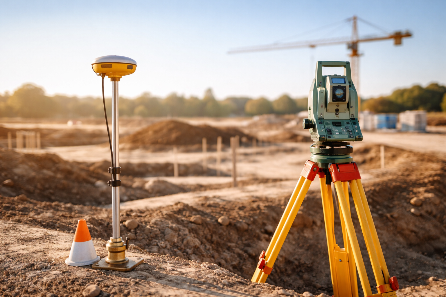
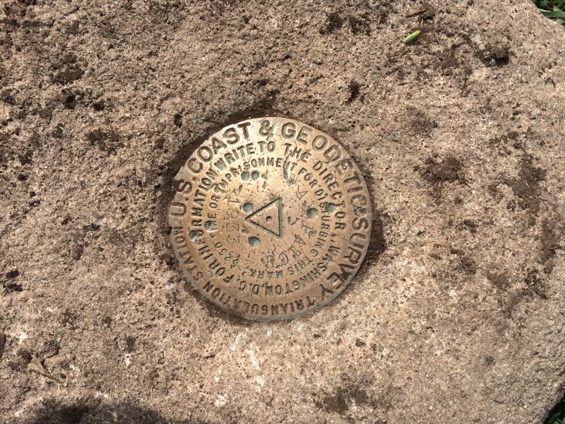
“Control Point Establishment” generally refers to the process of setting up fixed reference points used in surveying, construction, mapping, or geospatial data collection to ensure accuracy and consistency. These control points serve as known positions in space (usually with known coordinates and elevation) and are used to guide the positioning of other measurements or structures.
They serve as fixed locations with known coordinates and elevations, providing a consistent framework for accurate measurements and project alignment. Why Are Control Points Important? Ensure accuracy and consistency across surveys and construction. Provide a baseline for all future measurements. Facilitate integration of multiple datasets and project phases. Help maintain legal and regulatory compliance in land and construction projects.